Compartir
Observed and Forecast Flood-Inundation Mapping Application: A Pilot Study of an Eleven-Mile Reach of the White River, Indianapolis, Indiana (en Inglés)
U. S. Department Of The Interior (Autor)
·
Createspace Independent Publishing Platform
· Tapa Blanda
Observed and Forecast Flood-Inundation Mapping Application: A Pilot Study of an Eleven-Mile Reach of the White River, Indianapolis, Indiana (en Inglés) - U. S. Department of the Interior
$ 504.22
$ 840.37
Ahorras: $ 336.15
Elige la lista en la que quieres agregar tu producto o crea una nueva lista
✓ Producto agregado correctamente a la lista de deseos.
Ir a Mis Listas
Origen: Estados Unidos
(Costos de importación incluídos en el precio)
Se enviará desde nuestra bodega entre el
Viernes 19 de Julio y el
Lunes 29 de Julio.
Lo recibirás en cualquier lugar de México entre 1 y 3 días hábiles luego del envío.
Reseña del libro "Observed and Forecast Flood-Inundation Mapping Application: A Pilot Study of an Eleven-Mile Reach of the White River, Indianapolis, Indiana (en Inglés)"
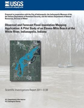
Near-real-time and forecast flood-inundation mapping products resulted from a pilot study for an 11-mile reach of the White River in Indianapolis. The study was done by the U.S. Geological Survey (USGS), Indiana Silver Jackets hazard mitigation taskforce members, the National Weather Service (NWS), the Polis Center, and Indiana University, in coopera-tion with the City of Indianapolis, the Indianapolis Museum of Art, the Indiana Department of Homeland Security, and the Indiana Department of Natural Resources, Division of Water. The pilot project showed that it is technically feasible to create a flood-inundation map library by means of a two-dimensional hydraulic model, use a map from the library to quickly complete a moderately detailed local flood-loss estimate, and automatically run the hydraulic model during a flood event to provide the maps and flood-damage information through a Web graphical user interface.

